
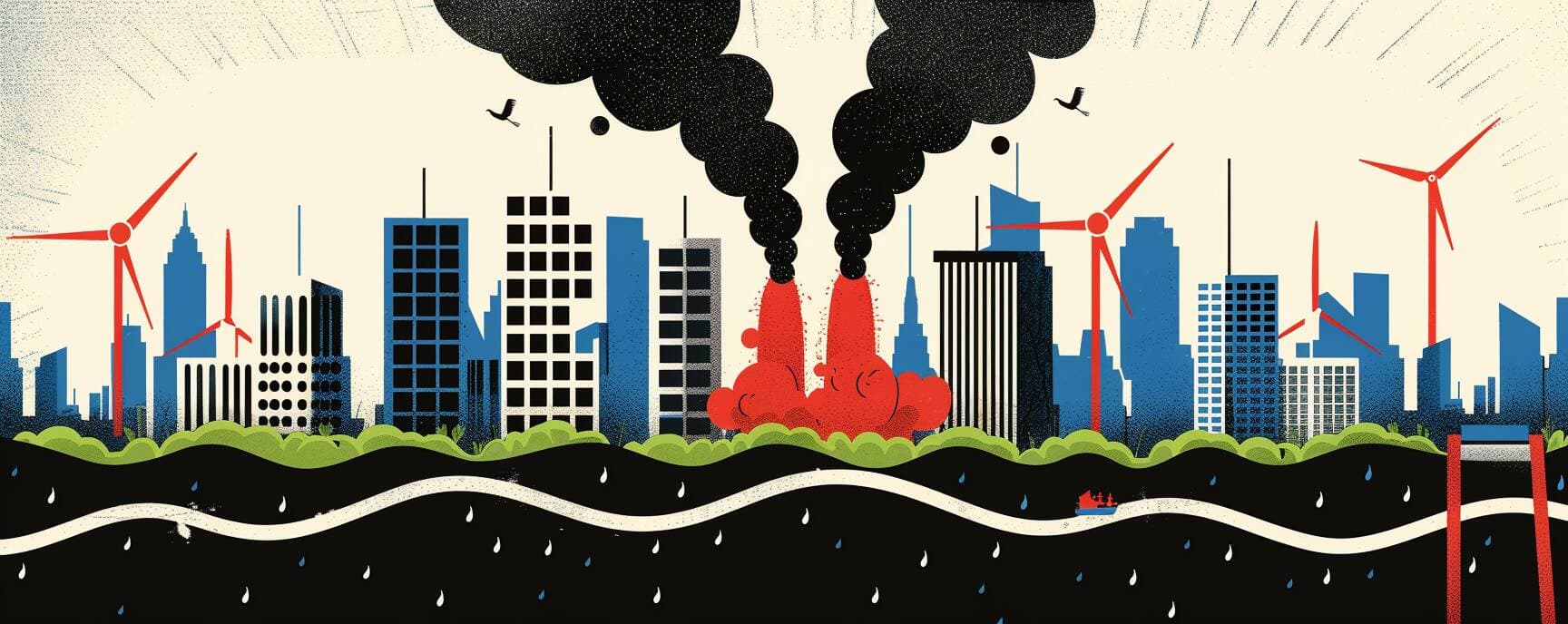
The Fire Beneath the Data


In Western fire country, every decision traces back to a number. Whether a prescribed burn gets approved in Jackson County. Whether a school in the Sierra foothills keeps kids indoors. Whether an insurer writes a policy or walks away. The numbers come from satellites, and the satellites were built to see heat from above.
A team from Lund University and UC Berkeley went to the ground. What they found reaches past any single database entry, into the smoke management plans, the air quality apps, the health studies that told communities how much danger they were breathing. The instruments measured what they were designed to measure. The fire was somewhere else, underground, invisible to orbit.
The Fire Beneath the Data
In Western fire country, every decision traces back to a number. Whether a prescribed burn gets approved in Jackson County. Whether a school in the Sierra foothills keeps kids indoors. Whether an insurer writes a policy or walks away. The numbers come from satellites, and the satellites were built to see heat from above.
A team from Lund University and UC Berkeley went to the ground. What they found reaches past any single database entry, into the smoke management plans, the air quality apps, the health studies that told communities how much danger they were breathing. The instruments measured what they were designed to measure. The fire was somewhere else, underground, invisible to orbit.
The Research
Boreal Wildfire Carbon Emissions Underestimated by Up to 50 Percent
Boreal soils hold more carbon than the atmosphere. A 50 percent undercount means global carbon budgets may need substantial revision.
Eckdahl is adapting these ground-truth methods to Western U.S. forests with UC Berkeley collaborators. No results published yet.
The Research
Northern Hemisphere Fish Biomass in Long-Term Decline, Masked by Heatwave Surges
Fishery quotas raised during heatwave-driven biomass spikes may accelerate collapse once temperatures normalize. The signal misleads the instrument.
External reviewers note the study's models may not fully disentangle warming effects from overfishing as a co-driver.
The Research
Global Ocean Heat Content Reached Record Highs Again in 2025
Monitoring infrastructure is concentrated in the upper ocean. Heat accumulating below measurement thresholds goes functionally uncounted.
Ocean heat content governs sea-level rise, storm intensification, and marine ecosystem stress with multi-decadal lag times.
The Research
Ice Sheet Mass Loss Is Measurably Altering Earth's Rotation
Rotational changes serve as an independent check on ice-loss estimates, and they're confirming the models have been conservative.
Sea-level rise projections built on slower melt rates may systematically understate the timeline communities are planning against.
Below the Surface
A February study in Science Advances found that underground peat combustion, invisible to satellites, caused Sweden's 2018 fire emissions to be underestimated by up to 50 percent. In some counties, fourteenfold. Lead researcher Johan Eckdahl, based at Lund University and UC Berkeley, is now adapting the methodology to Western US forests through the Western Fire & Forest Collaborative. No American results are published yet.
But the structural problem doesn't wait for publication. Every evacuation simulation, insurance catastrophe model, and community wildfire protection plan across Colorado's Front Range, the Sierra Nevada, and the Pacific Northwest relies on satellite-derived fire behavior data. The Swedish findings suggest those tools are partially blind to slow, persistent ground-level burning. If that blindness translates to Western soils, the assessments millions of people depend on are reading an incomplete fire.
Keep Reading
Past Articles

On September 5, 2025, Denver had the worst air quality in the nation. No fire burned within hundreds of miles. No evacua...

Naval Station Norfolk, the largest naval base on earth, floods about ten times a year. Not from hurricanes. From full mo...

Brownwood Subdivision had over 400 homes in the 1940s. Now it's a nature preserve in Galveston Bay. The ground fell ten ...

In Maricopa County last summer, more than half the people who died from heat died on days the system classified as moder...